Videohive Mexico Map - United Mexican States Map Kit
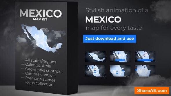
Mexico Map - United Mexican States Map Kit 24049254 Videohive - Free Download After Effects Templates
After Effects CC 2018, CC 2017, CC 2016, CC 2015, CC 2014, CC, CS6, CS5.5 | No plugins | 1920x1080 | 3 Mb
Mexico (Spanish: Mexico), officially the United Mexican States (Spanish: Estados Unidos Mexicanos), is a country in the southern portion of North America.
It’s a Collection of 3D scenes with geo-marks elements and regional lower thirds or titles with transitions that can be used to create cartography vector animation, flat quality, geo infographics and more…
- Fast rendering!
- Quick to use. Save your time! This Template is elegant publication what can be used to create your own geographical logo stings
- Included full pdf-manual, that even the beginner will easy understand how to tune a this traveling project.
- Quick to use. Save your time! This collection is glossy demo what can be used to create your own geographical product
- Detailed educational PDF tutorial
- Transitions are included into worldwide After Effects project
Cartography animation is a complete video advertisement solution You can create your own animations!
Mexico is a federation comprising 31 states and Mexico City, a special federal entity that is also the capital city and its most populous city. Other metropolises in the state include Guadalajara, Monterrey, Puebla, Toluca, Tijuana and Leon.
Aguascalientes, Baja California, Baja California Sur, Campeche, Chiapas, Chihuahua, Coahuila, Colima, Mexico City, Durango, Guanajuato, Guerrero, Hidalgo, Jalisco, Mexico, Michoacan, Morelos, Nayarit, Nuevo Leon, Oaxaca, Puebla, Queretaro, Quintana Roo, San Luis Potosi, Sinaloa, Sonora, Tabasco, Tamaulipas, Tlaxcala, Veracruz, Yucatan, Zacatecas.
The United Mexican States are a federation of 31 free and sovereign states, which form a union that exercises a degree of jurisdiction over Mexico City and other territories.
Each state has its own constitution, congress, and a judiciary, and its citizens elect by direct voting a governor for a six-year term, and representatives to their respective unicameral state congresses for three-year terms.
Mexico City is a special political division that belongs to the federation as a whole and not to a particular state. Formerly known as the Federal District, its autonomy was previously limited relative to that of the states.
Hot price
for cool looking intro or opener to your youtube vlogging presentations, slideshows, TV shows, commercials, promotions and upcoming events videos
Sound
Soundtrack not included. Light soundtrack you can find here map kit music
Photo
Photo credit: Clean content by unsplash.com, and Minimal content by pixabay.com
Font
Fonts link for this Contemporary project: free modern font by Google Fonts
Customization of cartography scenes is as simple as possible. You can also create your own geographical presentations and reuse them as many times you want.
Download - From Prefiles.com
Download - From Rapidgator.net
Download - From Nitroflare.com
Download - From turbobit.net
Download - From fileblade.com
Download - From Novafile.Com

TO WIN USERS: If password doesn't work, use this archive program: WINRAR 5.50 and extract password protected files without error.
Related Posts
-
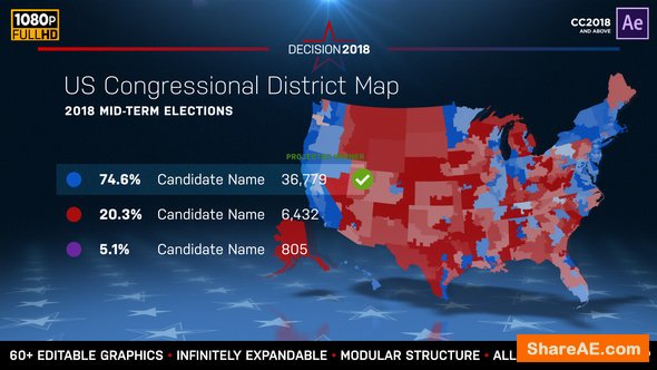 Videohive 2018 Midterm Election Map | State Congressional Districts
2018 Midterm Election Map | State Congressional Districts 22714175 Videohive - Free Download...
-
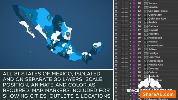 Videohive Mexico Map Kit
Mexico Map Kit 18255754 Videohive - Free Download After Effects Templates After Effects CS6...
-
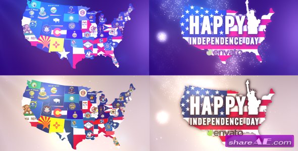 Videohive USA States Flag Logo
USA States Flag Logo 16612822 Videohive - Free Download AE Project After Effects Version CC...
-
 New Year City Skyline - After Effects Project (VideoBlocks)
New Year City Skyline - Free Download After Effects Template After Effects CS4, CS5, CS5.5, CS6, CC...
-
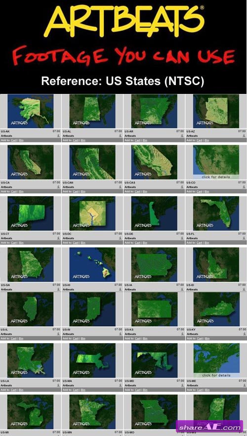 Artbeats - Reference: US States (NTSC)
 720x486 30fps NTSC | Progressive | QuickTime (mov) | 1.85 GB...
Artbeats - Reference: US States (NTSC)
Artbeats - Reference: US States (NTSC) 720x486 30fps NTSC | Progressive | QuickTime (mov) | 1.85 GB...


